We have many new things to share with you,
so stay tuned here on our website to stay current.
The Wenatchee Valley Erratics’ website is the showcase of our groups territory, from the Canadian Border through all of the Okanogan Lobe, to Dry Falls, Wenatchee, Leavenworth and beyond.
For 2026, we have a line-up planned of special guests and private tours.
View the “Rehoming of the Wenatchee Valley Erratics” for information about our new, temporary home!
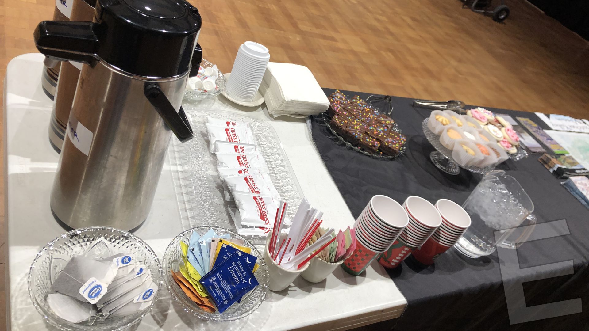
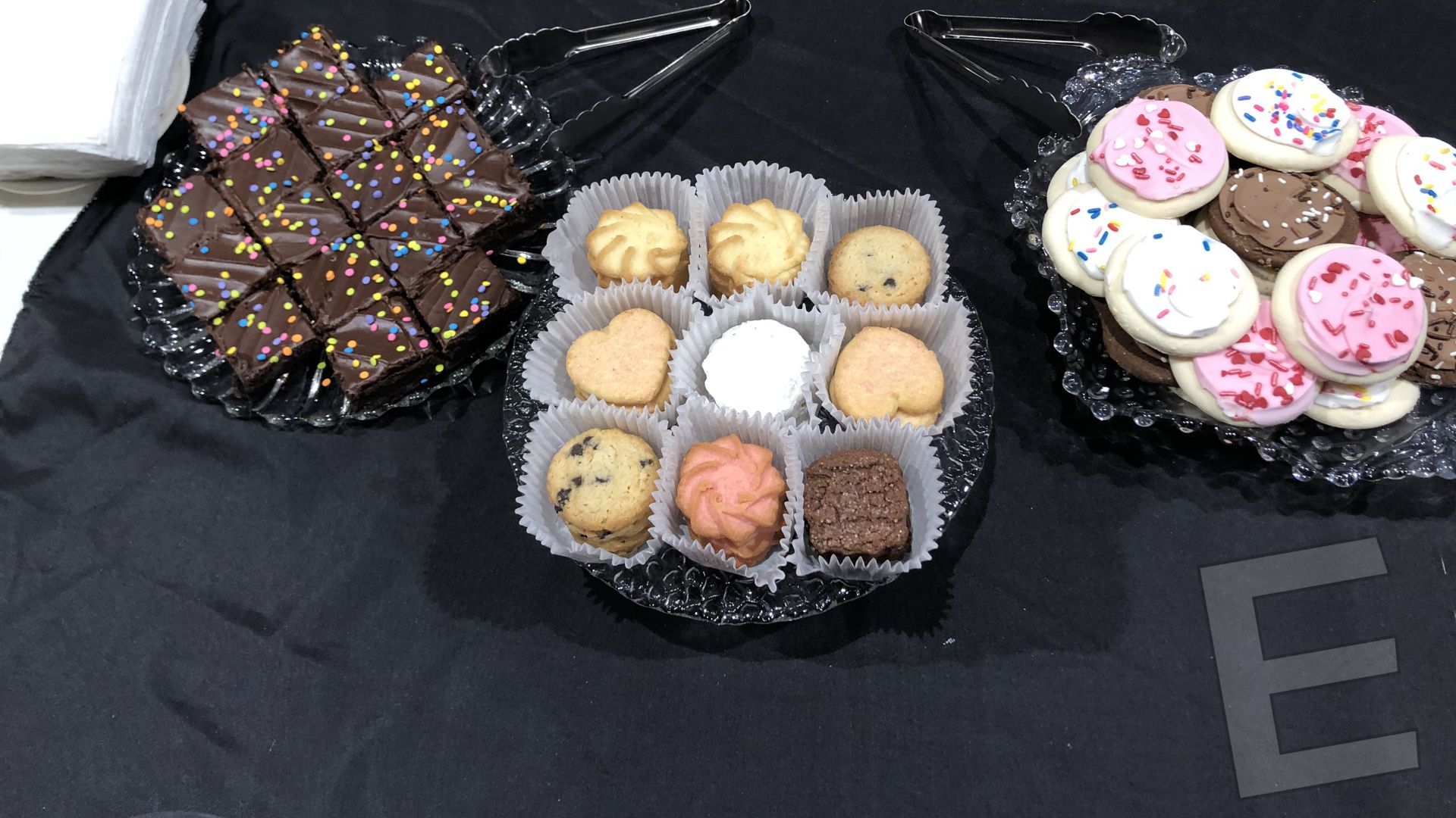
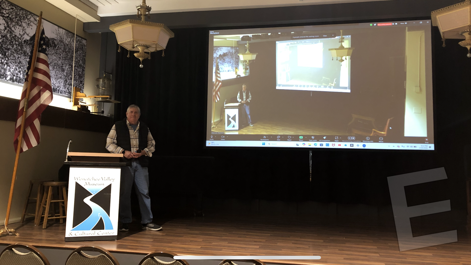
Thank You Dr. Karl and Nancy Lillaquist, splendid presenation!
CLICK HERE FOR THE AUGUST 11 PRESENTATION VIDEO
♦
The August 11 presentation features Dr. Karl Lillquist live at
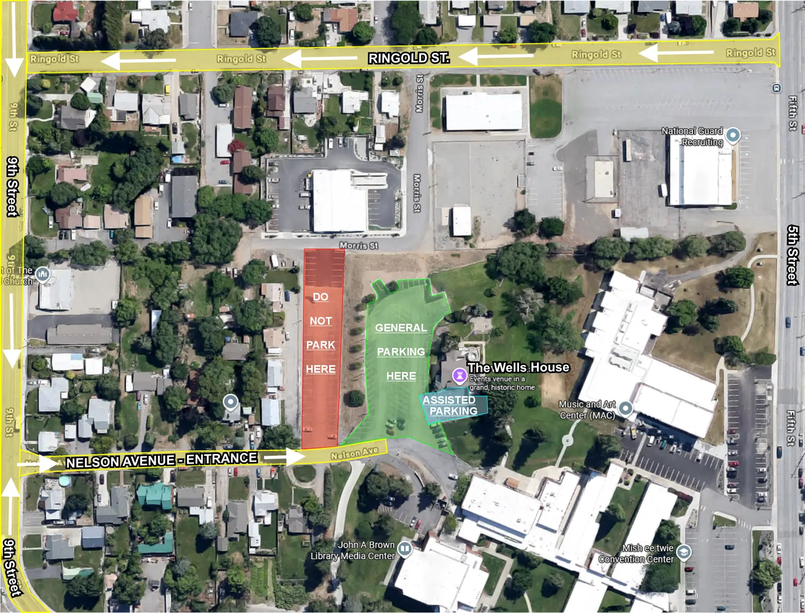
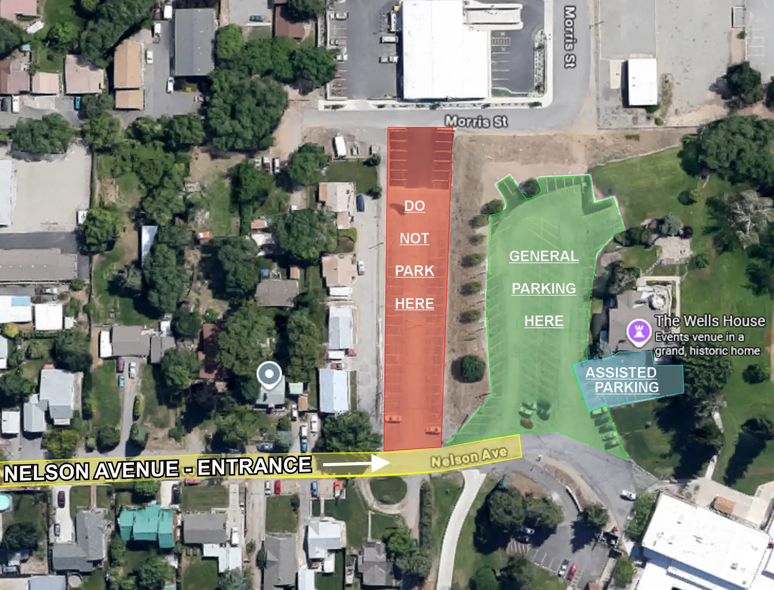
The Wells House,
625 Nelson Ave, Wenatchee, WA 98801.
♦

♦
Dr. Karl Lillquist – Emeritus Professor, Department of Geography, CWU.
SPECIALITIES: Geomorphology; Soils;
Snow of Mountain and Arid Watersheds in Western North America.
Click here for more information about Dr. Karl Lillquist.
♦
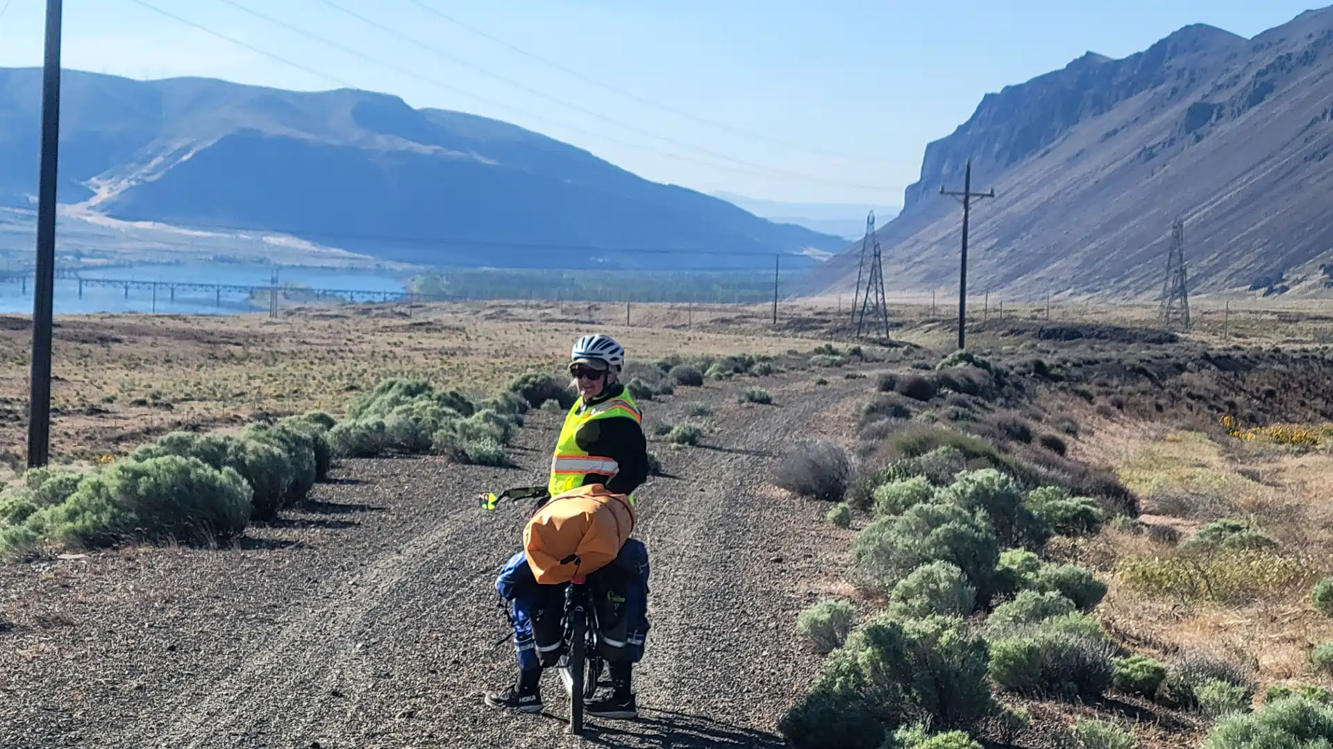 Over six days in late April and early May 2024, Nancy and Karl Lillquist bicycled the Palouse to Cascade Trail from Ellensburg to Tekoa, Washington.
Much of the 220-mile route followed the old railbed of the Chicago, Milwaukee, St. Paul, and Pacific Railroad as it passed through areas shaped by Ice Age flooding.
 J Harlan Bretz (pic right) travelled the same railbed in the 1920’s as he and his students worked out the origins of Eastern Washington’s scablands.
___
This presentation focuses on the:
1) Ample evidence for Ice Age floods along the Palouse to Cascade Trail;
2) Bretz’s thoughts on that evidence;
3) The adventure of bikepacking through this amazing landscape a century later.
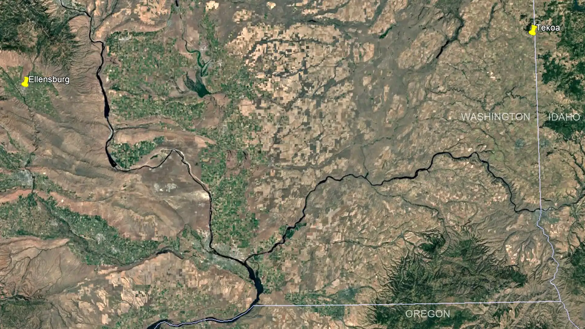
Click here to watch the video.
Karl Lillquist gave our final live, and Zoom, presentation for 2025. Karl is a physical geographer, who taught at Central Washington University until his retirement in summer of 2024.
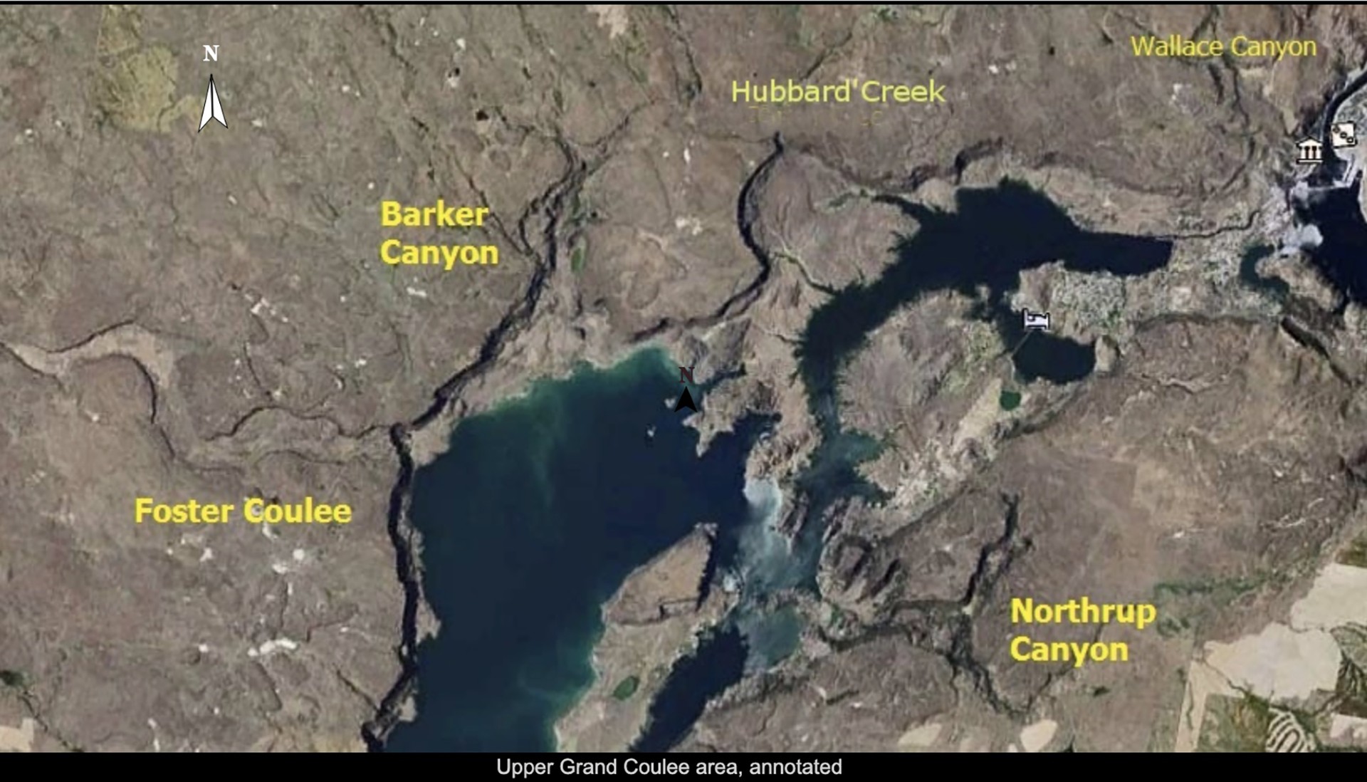
He talked about “Foster Creek and Foster Coulee: Insights on Ice Age Floods, Glaciers, and Lakes on the Waterville Plateau, WA.”
After the Grand Coulee and Moses Coulee, Foster Coulee is the largest coulee on the Waterville Plateau. During the last Ice Age (about 15,000 years ago), it was a channel for the Columbia River and a conduit for the Missoula Floods. Combined with the valley of Foster Creek, it dominates the northwest corner of the Columbia Plateau.
The program is free and open to the public.